
Marine
Note: for TC's see the Tropical Cyclone page and for Tsunami see the Natural Hazards page.
South Pacific Commentary
MetBob - Bob McDavitt's ideas for sailing around the South Pacific (and text only version)
Wind
Surface Observations
Ocean surface wind mosaics for NZ and Oceanic areas here at Weather Geek - data sourced via NOAA
Winds via NOAA: ASCAT METOP-B, ASCAT METOP-C and SMAP
Winds via EUMETSAT: multi-platform product viewer
AMV-based Sea-surface Wind - via Himawari satellite
SMAP - via remss.com
Forecasts
New Zealand MetService - homepage
» Coastal Marine Warnings (with link to high seas warnings)
» Marine homepage - start here for all marine forecasts - recreational, boating, surf...
Fiji Meteorological Service - homepage - see left menu for products, including;
» South West Pacific Marine for the "Islands" Marine Weather Bulletin
Australia Bureau of Meteorology - homepage
» Ocean Warnings Summary (Metarea X)
» National Warnings Summary - for other matine (and land) warnings
» High Seas Forecasts - map or list to select area
High Seas forecasts and warnings via Worldwide Met-Ocean Information and Warning Service (WWMIWS) / GMDSS website:
» Metarea XIV (NZ/Fiji) and Metarea X (Aus)
Waves and Swell
Observations
Bay of Islands wave buoy - from Northland Regional Council
Northport Weather - wave buoys as well as port conditions
Port of Tauranga - incl wave height, wind direcstion, tide and current information
BoP - Bowentown and BoP - Pukehina - wave buoys from Environment BoP
Port Taranaki - swell, wave, tide and wind data
Baring Head (South (B)) wave buoy
Baring Head (North (A)) wave buoy
Port Nelson - webcams and harbour conditions
Lyttelton Port Wave Buoy - located approx 7km NE of Adderley Head
Environment Canterbury - Directional Wave Recorder Buoy
NIWA sea levels and storm surge
UNESCO/IOC sea level monitoring website
Southern Ocean wave buoy - via MetOcean Solutions
Forecasts
MetService marine forecast maps - 3 hourly maps of wave height and period, also SST
SwellMap - swell forecast charts from MetOcean Solutions Ltd.
Swellnet - visualisation of swell/wind/pressure - all-in-one page
GFS and GEFS wave model forecasts for the Pacific (from NOAA/NWS/NCEP)
Tides
Land Information NZ - Tide Tables for standard and secondary ports
» see also standard port tide levels for spring/neap/astronomical tide levels
MetService - Tide Tables for selected locations (using LINZ data)
NIWA Tide Forecaster - with interactive map
Tideschart.com
Sea surface temperatures
NZ Marine Heatwave Forecast - via the Moana Project
NASA Worldview - interactive map (may need to step back a day)
JAXA Himawari Monitor - interactive map - select SST from product menu
NOAA View Global Data Explorer: weekly SST and Anomaly - including historic data
SST and anomaly maps (NOAA Coral Reef Watch)
SST - many plots (incl totals and anomalies) via NOAA ESRL PSD
SST and anomaly plots from ClimateReanalyzer.org
BoM SST charts: daily mean and anomaly, or weekly and monthly charts
Daily optimally interpolated SST - static image with history, from Remote Sensing Systems
Ice and Polar Data
US National Ice Center - for ice edge and iceberg info
» including Antarctic charts and data files (incl KMZ and TXT/ASCII)
NSIDC Sea Ice News & Analysis, with maps/plots and interactive graph - Arctic & Antarctic
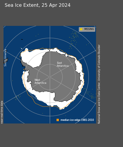
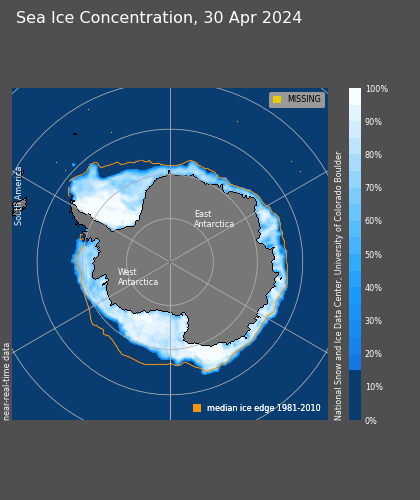
» SH: Antarctic daily extent and concentration maps, also extent graph
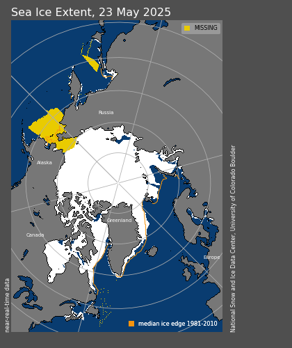
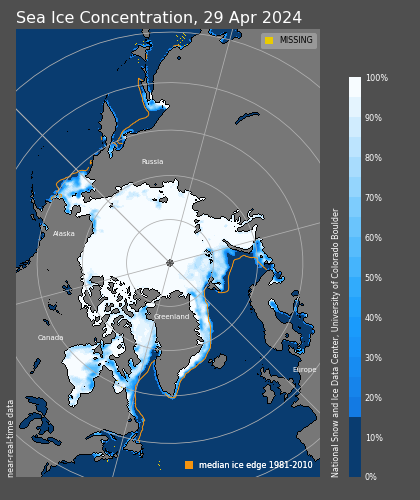
» NH: Arctic daily extent and concentration maps, also extent graph
Ice Logistics Portal
- Southern Hemisphere
Polar View - with interactive map and several layers for the Antarctic sea ice
ADS VISHOP - interactive sea ice extent graphs
UK Met Office sea ice briefings - Arctic and Antarctic
Antarctic real-time meteorological data - University of Wisconsin-Madison AWS and AMRC
» including AWS/Ship observations, satellite imagery and NWP data
Ship Tracking
MarineTraffic.com
VesselFinder
APRS Ship Tracking